|
Distancia aprox: 13 km.
|
Tiempo (ida): 5h
|
Ciclabilidad: Parcial
|
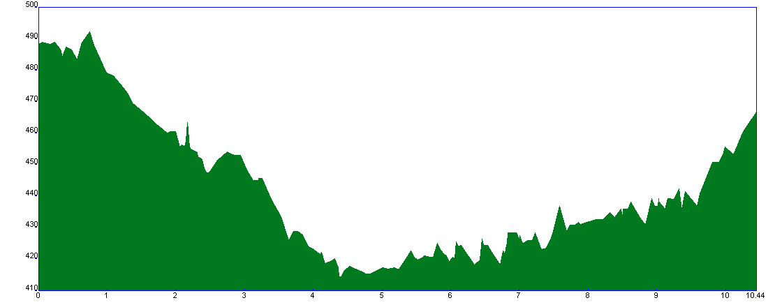
Perfil de la etapa

|
Dificultad según el método MIDE
|
 |
|
|
|
|
|
|
|
|
|
|
Etapa 8: Santa Olalla del Cala – El Real de la Jara
|

|
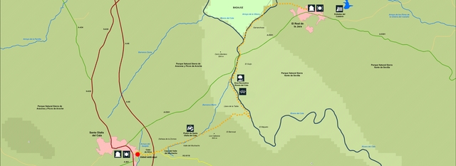
La etapa discurre por antiguos caminos entre dehesas que sirven de alimento al cerdo ibérico y por la ribera del río Rivera del Cala, cauce fluvial que hace de límite entre las provincias de Huelva y Sevilla. Nos trasladaremos del Parque Natural Sierra de Aracena y Picos de Aroche al Parque Natural Sierra Norte de Sevilla. La dirección de esta etapa será mayormente de Suroeste a Noreste, con un perfil muy suave en todo el recorrido, descendente en su primera mitad y levemente ascendente en la segunda.
|
|
|
|
|
 |
The stage runs between old paths among pastures that feed the Iberian pig and by the bank of the river “Rivera del Cala”, river bed which makes the border between the provinces of Huelva and Seville. We will move from “Sierra de Aracena and Picos de Aroche” Natural Park to “Sierra Norte de Sevilla” Natural Park. The direction of this footpath will be mainly from southwest to northeast. This is a very handy way to walk along, descending in the first half of the track and slightly ascending in the second one.
|
|
|
|
|
|

